
On Wednesday, Feb. 26, 2020 at 6PM Mapping Cville will be hosting a training session at Decipher Brewery (1740 Broadway Street, Charlottesville, Va.).
2. Montebello
We're officially more than 75% of the way through Round 1, which means we've successfully logged more than 450 deeds! And that means we're ready to do some more mapping. For our next plotting, we're heading over towards the University of Virginia to an area known as Montebello, in the larger Jefferson Park Avenue neighborhood. … Continue reading 2. Montebello
1. Lexington Ave
We're making great progress! After launching the public portion of the Mapping Cville project less than two months ago, we’ve completed more than 1,200 loggings of racially restricted properties in Charlottesville, retiring more than 200 deeds. So let’s get to mapping! The very first properties we're able to map are 4 on Lexington Avenue: Which … Continue reading 1. Lexington Ave
Zooniverse Updates
A huge thank you to the 85+ people who attended the training sessions on November 23 at the Jefferson School African American Heritage Center! Not only did we devour six dozen donuts, but we also logged more than 300 deeds with racially restrictive covenants in them. In fact since then, we've logged a total of 500+ deeds so far, … Continue reading Zooniverse Updates
Want to Help Map Our Covenants?
Hi there! Thanks so much for taking the time to check out the Mapping Cville project. To learn more about how the project began and what we're tackling, check out this first blog post here or some of the news items that have been written about the project so far: C-Ville Weekly, Charlottesville Tomorrow, VPM, Cavalier Daily, … Continue reading Want to Help Map Our Covenants?
Searching for Covenants: 1 in every 3 deeds
Eek! It’s been SEVEN whole months since I last posted. I’m so sorry. It won't happen again. I will say it's been a rather busy 7 months: Talks to teachers, talks to the community, and talks at the Maupintown Film Festival. Also, I officially started my digital humanities fellowship at the Jefferson School African American Heritage … Continue reading Searching for Covenants: 1 in every 3 deeds

John West & Southall’s Meadow
Over the last month I’ve been working with our tech team to set up the project's crowd-sourced portion, so we can get everyone involved through Zooniverse. It’ll give us a way to easily log the covenants and other details into a database, which can then be joined with spatial data to come alive in our GIS … Continue reading John West & Southall’s Meadow
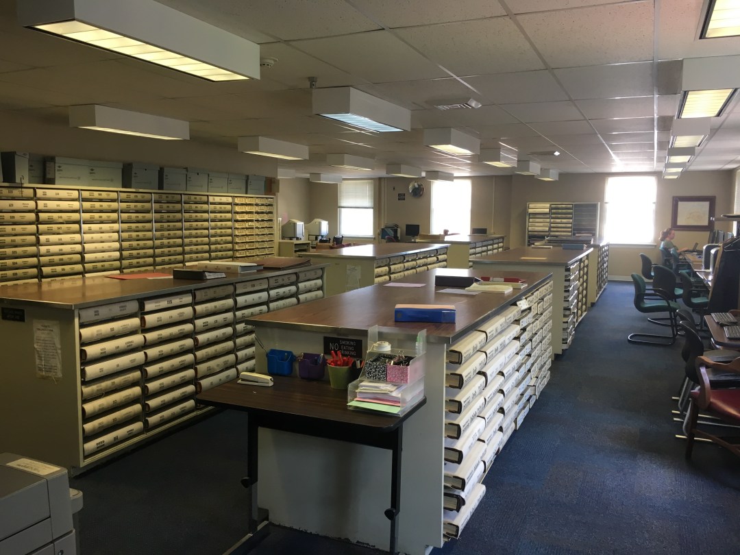
Scanning, scanning, scanning
Picking up where I left off — with wanting this project to be as comprehensive as possible — after figuring out the "when," that is, the set of years that we need to look at to get a truly thorough understanding of how prevalent racially restrictive covenants were in Charlottesville, we then needed to figure … Continue reading Scanning, scanning, scanning

1897 – 1948: Charlottesville’s first racially restrictive covenants (UPDATED)
In thinking about sources and methods for this project, I came to the conclusion early on that we have to be comprehensive. We have to find every single racially restrictive covenant in the property records. But first, we needed to figure out the "when" — what is the period of time we should be … Continue reading 1897 – 1948: Charlottesville’s first racially restrictive covenants (UPDATED)

Geo- what? Geo-referencing!
One hundred years ago, Charlottesville was still very much a developing city. What was once farm land, was being bought and sold into smaller and smaller plots. And what we consider today to be well-established neighborhoods were just beginning to form, most often as subdivisions. Take for instance, Park Plaza. The area is just two … Continue reading Geo- what? Geo-referencing!
